
We are a team passionate about antiques and customer service. With trade and private clients worldwide we offer a complete sourcing, restoration and delivery network. From order to delivery our focus is on customer service.
Buy with Confidence Guarantee
We offer a 100% Total Satisfaction Guarantee: Every item we sell is covered by our Total Satisfaction Guarantee: If, within 14 days of receipt, you are unsatisfied with the item it may be returned for a full refund. Our business is nothing without customer service. Simply pack it up safely and return it to our address and we will provide a refund of the purchase price upon receipt.
London Fine Ltd
'%3e%3cpath fill='%23012169' d='M0 0v30h60V0z'/%3e%3cpath stroke='%23fff' stroke-width='6' d='m0 0 60 30m0-30L0 30'/%3e%3cpath stroke='%23C8102E' stroke-width='4' d='m0 0 60 30m0-30L0 30' clip-path='url(%23b)'/%3e%3cpath stroke='%23fff' stroke-width='10' d='M30 0v30M0 15h60'/%3e%3cpath stroke='%23C8102E' stroke-width='6' d='M30 0v30M0 15h60'/%3e%3c/g%3e%3c/svg%3e) Devon, UK
Devon, UK
Address
The Antique Village, The Old Whiteways Cider Factory
Hele
Devon
United Kingdom
EX5 4PW
Opening times
10am - 4pm, Monday to Saturday
Phone
+442071 833511
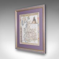
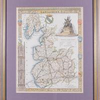
Antique County Map of Lancashire, English, Framed Cartography, Moule, Victorian
REF: 26237 / LA586041
£295
€345
$398
Secure Payments By
LoveAntiques Dealersince May 2017Approved item3605 sales by dealerFree DeliveryAvailable for local pick-up
LoveAntiques Dealersince May 2017Approved item3605 sales by dealerFree DeliveryAvailable for local pick-up
Description
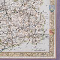
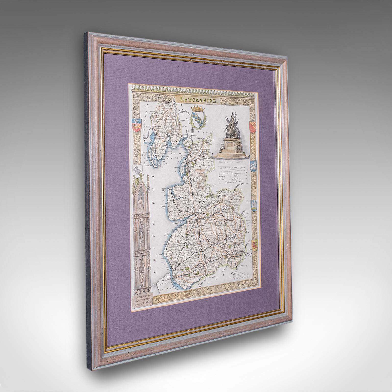
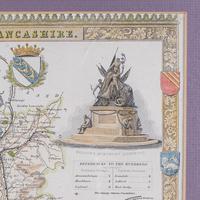
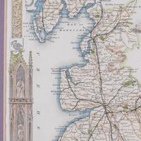
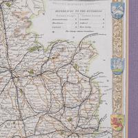
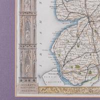
This is an antique county map of Lancashire. An English, atlas reproduction of the Thomas Moule original, dating to the late Victorian period, circa 1900.
Fine county cartography, reproduced in the late Victorian period, displays a desirable aged patina and in good order. Presented behind clear, bright glass with a lilac card border. Later frame with gilt accents and dressed with hanging wire to the reverse.
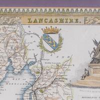
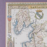
Superb cartography by Thomas Moule (1784 - 1851) writer, antiquarian and map maker. Gives excellent detail to Lancashire, in the North West of England. Accentuated with Gothic borders and heraldic emblems, a Moule hallmark. Hand coloured borders and decoration for greater visual appeal.
Wonderful vignette of Nelson's monument in Liverpool. Scale is given in English Miles with increments from 1-10 miles. George Virtue included these Moule maps in James Barclay's Complete & Universal English Dictionary. This edition likely featured within a later print run of the reference volume.
This is a colourful antique Lancashire county map, with a detailed and quality reproduction of the Thomas Moule original. A treat for Lancs residents, descendants or collectors. Delivered ready to display.
We offer a 100% satisfaction guarantee with all of our antiques.
Please contact us if you require any further information - we are here to help.
measurements
Height:
37.5 cm
Width:
32 cm
Depth:
2 cm
Map Width: 20.5cm (8'')
Map Height: 26cm (10.25'')
declaration
London Fine Ltd has clarified that the Antique County Map of Lancashire, English, Framed Cartography, Moule, Victorian (LA586041) is genuinely of the period declared with the date/period of manufacture being c.1900
condition
Presented in good antique condition.
additional info
Period:
Category:
Artisan:
Date of Manufacture:
c.1900
location
This Antique County Map of Lancashire, English, Framed Cartography, Moule, Victorian is located in Devon, United Kingdom
Share:
A selection of items from London Fine Ltd
London Fine Ltd has 1677 items available.Antique County Map, Gloucestershire, English, Framed - Thomas Moule - Victorian
£ 325
€380$438
London Fine Ltd
Antique County Map, Huntingdonshire, English, Framed, Moule, Atlas - Victorian
£ 365
€427$492
London Fine Ltd
Antique County Map, Monmouthshire, English Framed Print, Thomas Moule, Victorian
£ 325
€380$438
London Fine Ltd
Antique County Map, Surrey, English, Framed Lithograph, Cartography, Victorian
£ 295
€345$398
London Fine Ltd