Elder Books have been dealing in 2nd hand & Antiquarian Books, Prints, Maps & Collectables for over 20 years, formally of Ross Old Book Shop Ross on Wye, Herefordshire. We are now trading solely on-line and the occasional trade fair.
Please visit: www.abebooks.co.uk - Book Seller: Elder Books for our latest selection of books for sale.
Viewing by Appointment also undertaken.
We would also like to purchase good quality 2nd Hand & Antiquarian Books.
You can contact us: paulelderbooks@gmail.com
Visit Elder Books Facebook Page! Established 1996 & Dealing in a wide variety of Rare, Antiquarian & second hand books plus a selection of early maps, prints & interesting & unusual Antiques & collectables.
Directory and moreAll AntiquesFurnitureSilverArtJewellerySalvageClocksMirrorsChairsGlassCeramicsDirectory and moreBedsBookcasesCabinetsChairsChest of DrawersCupboardsDesksDressersDressing TablesSideboardsStoolsTablesWardrobesBasketsBowlsBoxesCandlesticksCard HoldersCoastersCoffee PotsCondimentsCutleryDecanter LabelsDishesSpoonsVasesCityscape ArtContemporary ArtDrawingsEaselsLandscape ArtMarinescape ArtMiniaturesOil PaintingsPastelPortraitsSeascape ArtStill LifeWatercoloursAntique Bracelets & BanglesBroochesCufflinksDiamond RingsEarringsEngagement & Wedding RingsJewellery BoxesLocketsNecklacesPendantsRingsSets - Demi ParureSolitaire RingsBathsChimneysColumnsDoor Handles / Door Stops / Door KnockersDoorsFireplacesFlooringIndustrial antiquesLocks / KeysReclaimed & Industrial LightingReclamationWindowsBracket ClocksCarriage ClocksClock SetsCuckoo ClocksDial ClocksFusee ClocksGrandfather ClocksLongcase ClocksMantel ClocksPocket WatchesSkeleton ClocksWall ClocksWatchesConvex MirrorsDressing MirrorsDressing Table MirrorsFrench MirrorsGilt MirrorsLarge MirrorsOval MirrorsOvermantle MirrorsPier MirrorsSwing MirrorsToilet MirrorsVictorian MirrorsWall MirrorsArmchairsClub ChairsCorner ChairsCountry ChairsDesk ChairsDining ChairsHall ChairsKitchen ChairsLibrary ChairsOffice ChairsPair of ChairsRocking ChairsWing ChairsAntique Drinking GlassesChampagne GlassesDecantersEpergnesGlass BowlsGlass CruetGlass DishesGlass InkwellGlass JugsGlass SculpturesGlass VasesScent BottlesTantalusAnimal FigurinesBlue and WhiteBowlsChargersChinaCoffee Pots & SetsDinner ServiceDishesFigurinesJugsTea Pots and SetsVases (Ceramic)Business DirectoryLoveAntiques DealersHome & LivingBlogMaterialsPeriodsArtisansOriginsGifts For HimGifts For Her
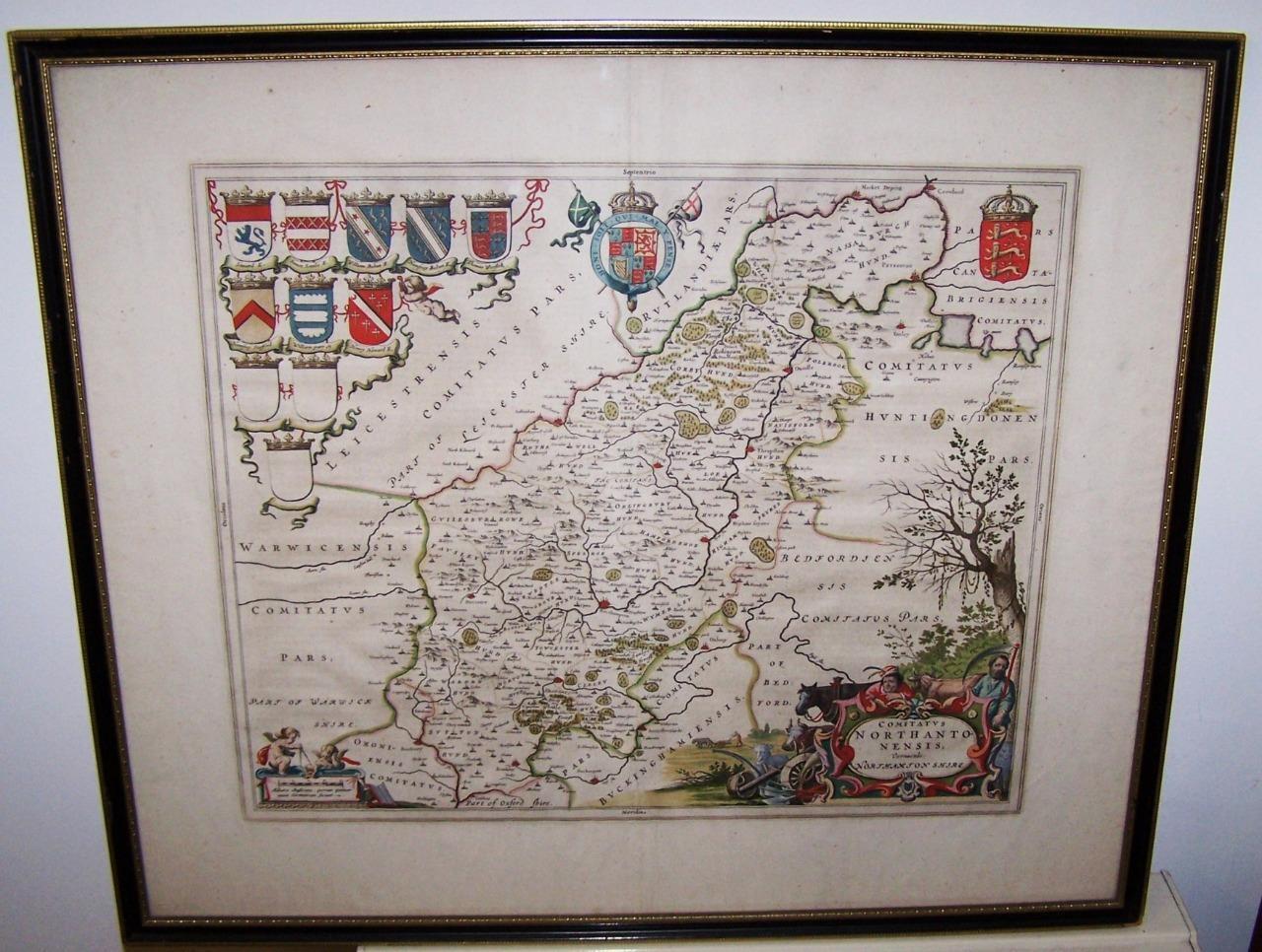
1650 Johannes Blaeu Map of Northamptonshire
REF: ES1942 / LA463404
From:Elder Books & Collectables
1650 Johannes Blaeu Map of Northamptonshire
REF: ES1942 / LA463404
From:Elder Books & Collectables

Sold
This item has been sold and is no longer available
Elder Books & Collectables

Address
Elder Books, Ross on Wye
Walford
Herefordshire
United Kingdom
HR9 5QW
Mobile
+447980 639356
1650 Johannes Blaeu Map of Northamptonshire
REF: ES1942 / LA463404
From:Elder Books & Collectables
Sold
This item has been sold and is no longer available
1650 Johannes Blaeu Map of Northamptonshire
REF: ES1942 / LA463404
From:Elder Books & Collectables